Simple, Transparent Pricing
Choose the plan that fits your mission planning needs. Start free, upgrade when you need more.
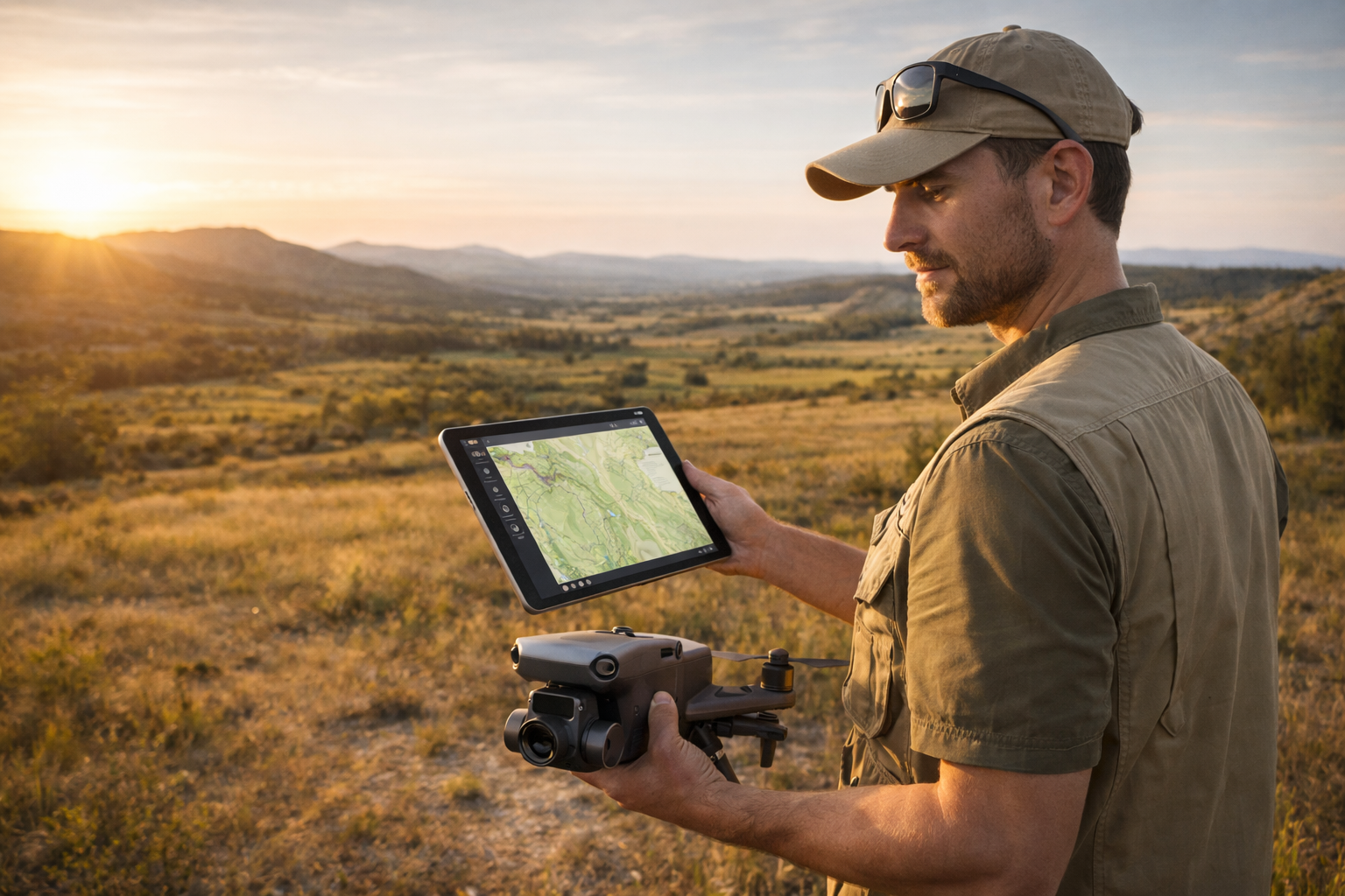
Mission Planning App
For individual operators and small teams who need reliable offline mission planning.
Free
Free forever. No credit card required.
- All 31 drone profiles
- Flight Range Calculator with full physics engine
- Interactive Map with 4 styles and range rings
- 7-ring battery safety zone system
- Wind-aware directional range modeling
- Manual weather entry
- Draggable map pins
- Imperial & Metric units
PRO
RECOMMENDEDVia Google Play & App Store. Cancel anytime.
Everything in Free, plus:
- Set Home Location: persistent saved home coordinates
- Live Weather: one-tap real-time weather from GPS
- Payload Modeling: drone-specific efficiency curves
- Advanced Fine-Tuning: calibrate from real flight data
- Custom Drone Builder: Simple & Advanced modes, 6 templates
- Offline Maps: North America & Europe available now; Custom Area Download (high-resolution tiles) coming soon
Offline Maps
Offline maps for North America and Europe are available now with PRO, stored on-device for fully offline field use. No internet required. Custom Area Download is coming soon, which will let you draw any area on the map and download high-resolution tiles for that specific location.
Built for operators who need answers before takeoff.
Platform Integration
For enterprise fleets, software integrators, and OEM partners who need planning intelligence at scale.
API/SDK Coming Soon
We're actively developing the RangeIQ API and SDK for enterprise integration. Early access is not currently available.
RangeIQ will offer flexible licensing options including a free developer tier for evaluation, commercial plans with production access and support, and enterprise agreements with custom terms and SLAs.
Pricing FAQs
What offline maps are available, and what's coming?
Offline maps for North America and Europe are available now with PRO, stored on-device so you can work in the field without any internet. Custom Area Download is coming soon: draw any area on the map and download high-resolution tiles for exactly that spot, with sharper detail than the current regional maps. Pricing and availability will be announced soon.
How do you approach enterprise reliability and support?
Enterprise customers can negotiate SLA terms as part of their annual contract. We offer priority support channels, dedicated integration assistance, and uptime commitments for mission-critical deployments. Contact us to discuss your specific reliability requirements.
What's included in the free tier?
The free tier includes all 31 drone profiles, the full flight range calculator with the RangeIQ physics engine, an interactive map with 4 styles and 7 battery safety zone rings, wind-aware directional range modeling, manual weather entry, draggable map pins, and Imperial/Metric unit support. It's a fully functional flight planning tool.
What does PRO add?
PRO unlocks six features: Set Home Location (persistent saved coordinates), Live Weather (one-tap real-time weather from GPS), Payload Modeling (drone-specific efficiency curves), Advanced Fine-Tuning (calibrate from real flight data), Custom Drone Builder (unlimited custom profiles with Simple and Advanced modes plus 6 templates), and Offline Maps (North America & Europe available now; Custom Area Download with high-resolution tiles coming soon). PRO is $4.99/month or $39.99/year (~33% savings) via Google Play or App Store. Cancel anytime.