RANGESIGHT + RANGEIQ
Low-Connectivity Field Missions
The Problem
Many field sites have limited or no cellular connectivity. Operators arrive on-site unable to access cloud-based planning tools, weather data, or airspace information.
What RangeSight Changes
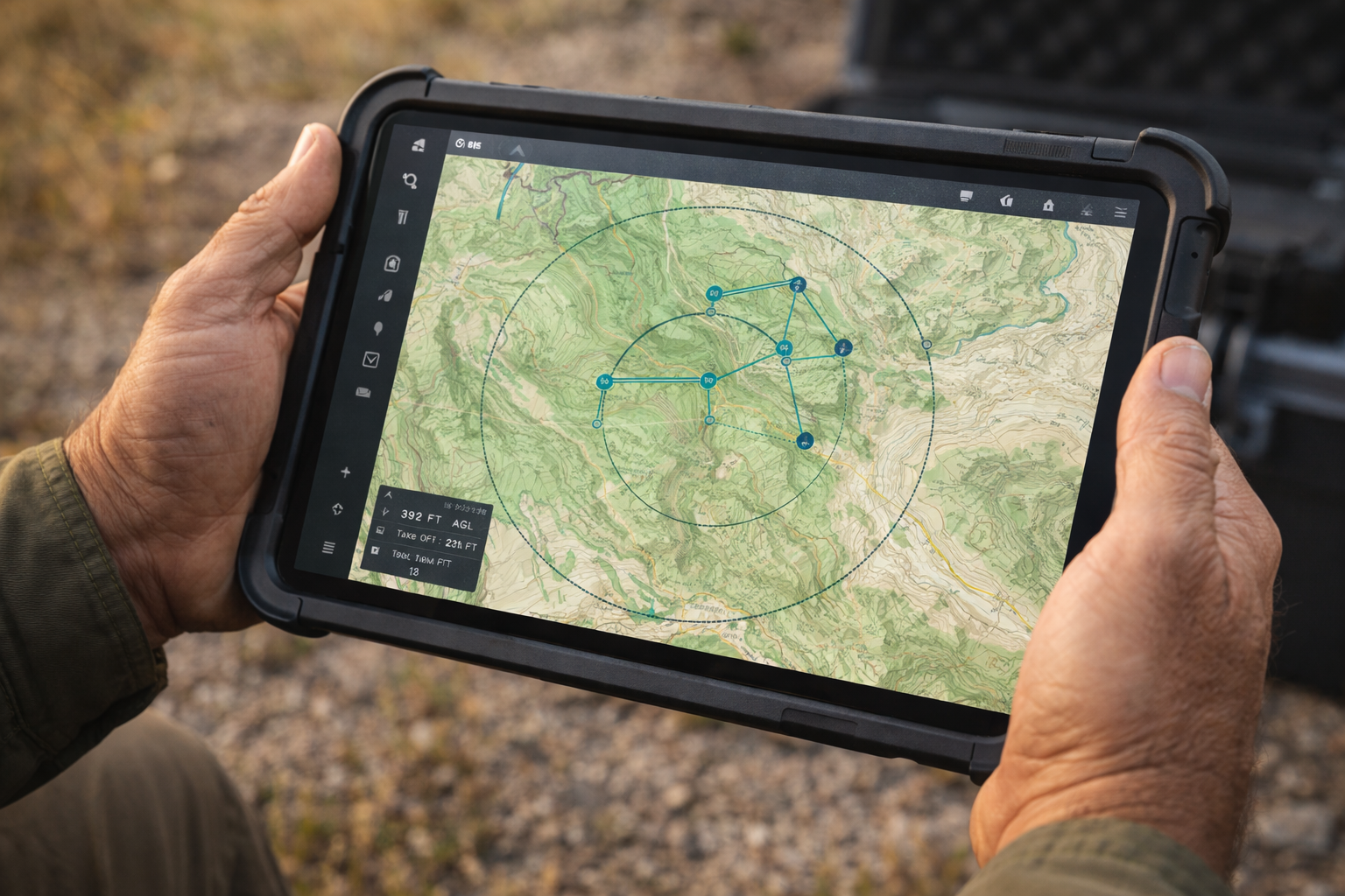
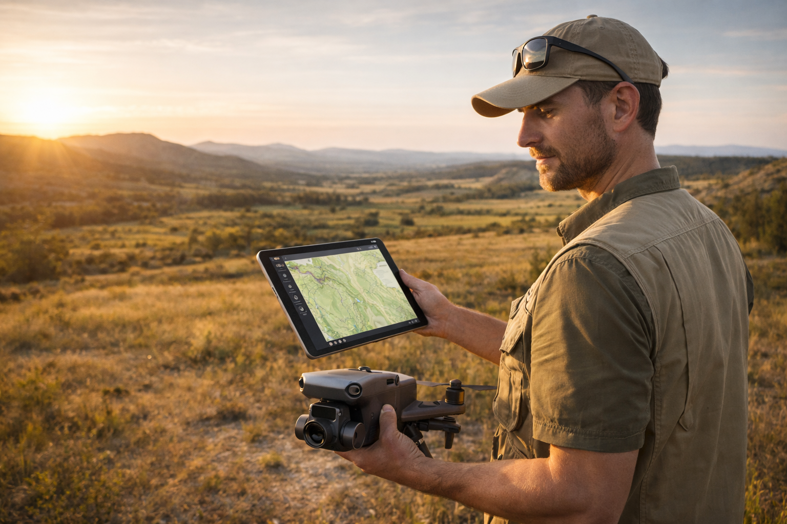
Offline maps for North America and Europe are available now. Download them before heading out and plan without any connectivity. Custom Area Download is coming soon, so you'll be able to grab high-resolution tiles for exactly your deployment area. Arrive on-site with the planning already done.
Primary Buyers
Individual operators, drone service providers, rural/remote operations teams